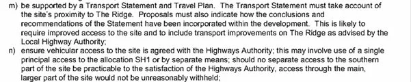
Access
The Outline Planning Application is applying for approval to build a new access point on to the Ridge opposite the pavilion on the Sandhurst Playing fields.
The plans do not address the point made in Paul Howson’s letter of 5th August 2022 which is included as an appendix to the Statement of Community Involvement that access to the South of the site should be considered:
There is a viable access by the Old Lodge House which currently gives access through to the current Vets carpark. This access would offer significantly better visibility on to the Ridge and importantly oncoming traffic from either direction would be approaching a bend so naturally slowing down.
The Access indicates that visibility along the Ridge would be 43m with a 2.4m wide pathway shown, however the Transport Assessment confirms the pavement is only 1.5m wide. This discrepancy will reduce that visibility – by how much?
o Notice should also be taken of estimated stopping distances which state
§ 30mph is 23m but at 35mph that increases to 39m
§ This takes no account of the impact of wet conditions or the fact that cars travelling from the East are accelerating having come round a sharp bend and this will impact stopping distances
§ No recognition is made of the fact that this is already recognised as a dangerous stretch of road as evidenced by regular positioning of a Highway Safety Camera at the junction of Sandhurst Gardens and the Ridge.
o This brings into question whether this access point can be considered safe
To deliver this access a swathe of trees need to be removed to create the visibility stated on the plan. Conveniently the plan considers these trees to only be of moderate importance and do not adequately replace them. The access point is 10 metes wide plus further cutting back.
What damage to the roots of trees that abut this clearance
The access point also requires destruction of the important hedgerow which is an important part of the green corridor for smaller species. Again the plan seeks to show this as not crossing the whole site until reaching the public right of way
There are two different versions of an outline layout in the documents, one shows a single crossing of the Public Right of Way (PROW) the other two.
o Whilst the plan acknowledges the PROW it does address that the plan breaks this important walkway
o It serves to keep pedestrians off the Ridge road pavement which is very narrow and has very large lorries passing at speed mere inches from them
o The two access points metres apart are presumptive breaches of the PROW and there is no case for having them both other than the desire to maximise building space on the site so why should this be allowed?
o Any breach of the PROW should only be created with a pedestrian crossing in place to maintain the public right of way.
This stretch of the Ridge already has multiple access points and in a stretch of approx. 250m there are:
o 5 Access Roads (and access to Conqueror’s March)
o A Garage
o 2 Care Facilities
o Church Hall
o Church
o A charity Garden Centre
o Veterinary practice
Given the inconsistencies in the plan documentation and the failure to address key questions this access point should be rejected at this time.